Aberlady Bay was the first Local Nature Reserve (LNR) designated in the UK, established in 1952. It is widely recognised for its rich mosaic of coastal habitats and exceptional wildlife value.
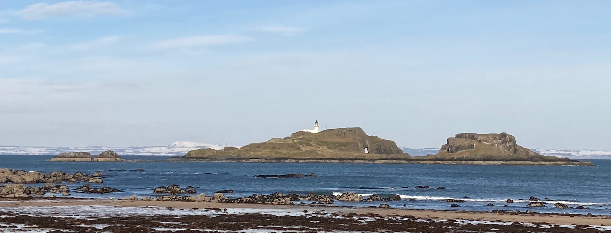
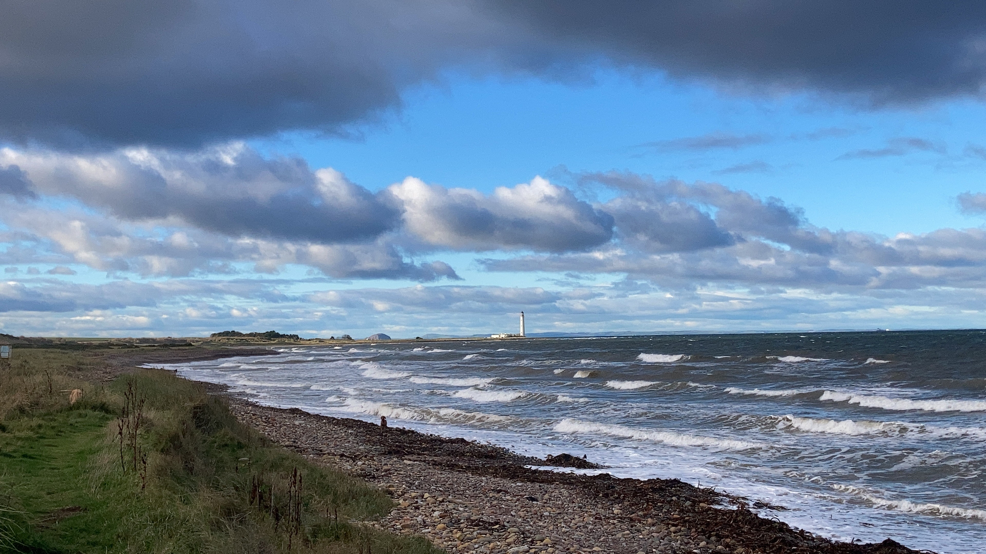
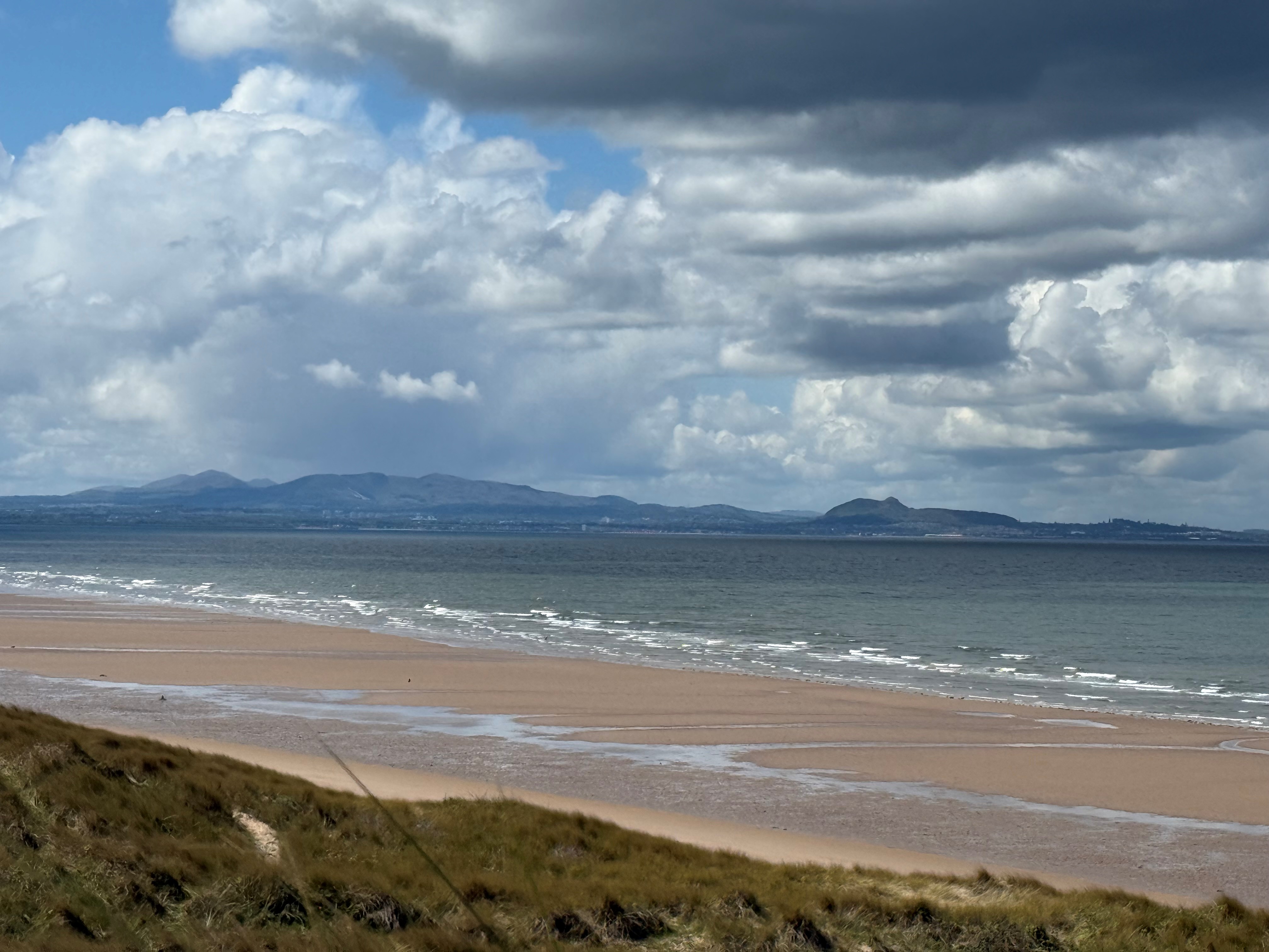
The reserve covers a broad swathe of coastline on the south side of the Firth of Forth and forms part of wider protected areas such as the Firth of Forth SSSI, thanks to its important bird, plant, and geological features.
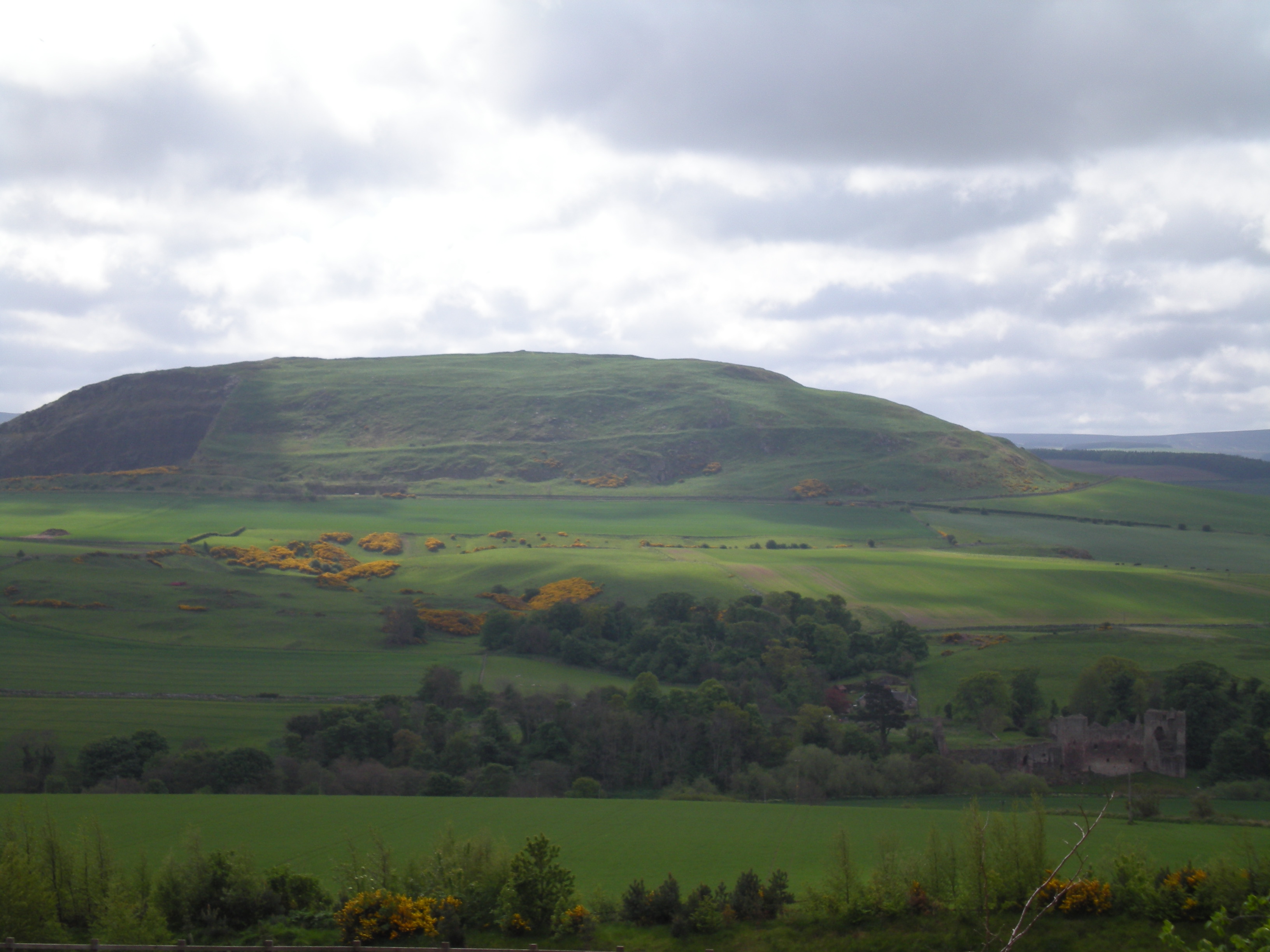
Habitats and landscape
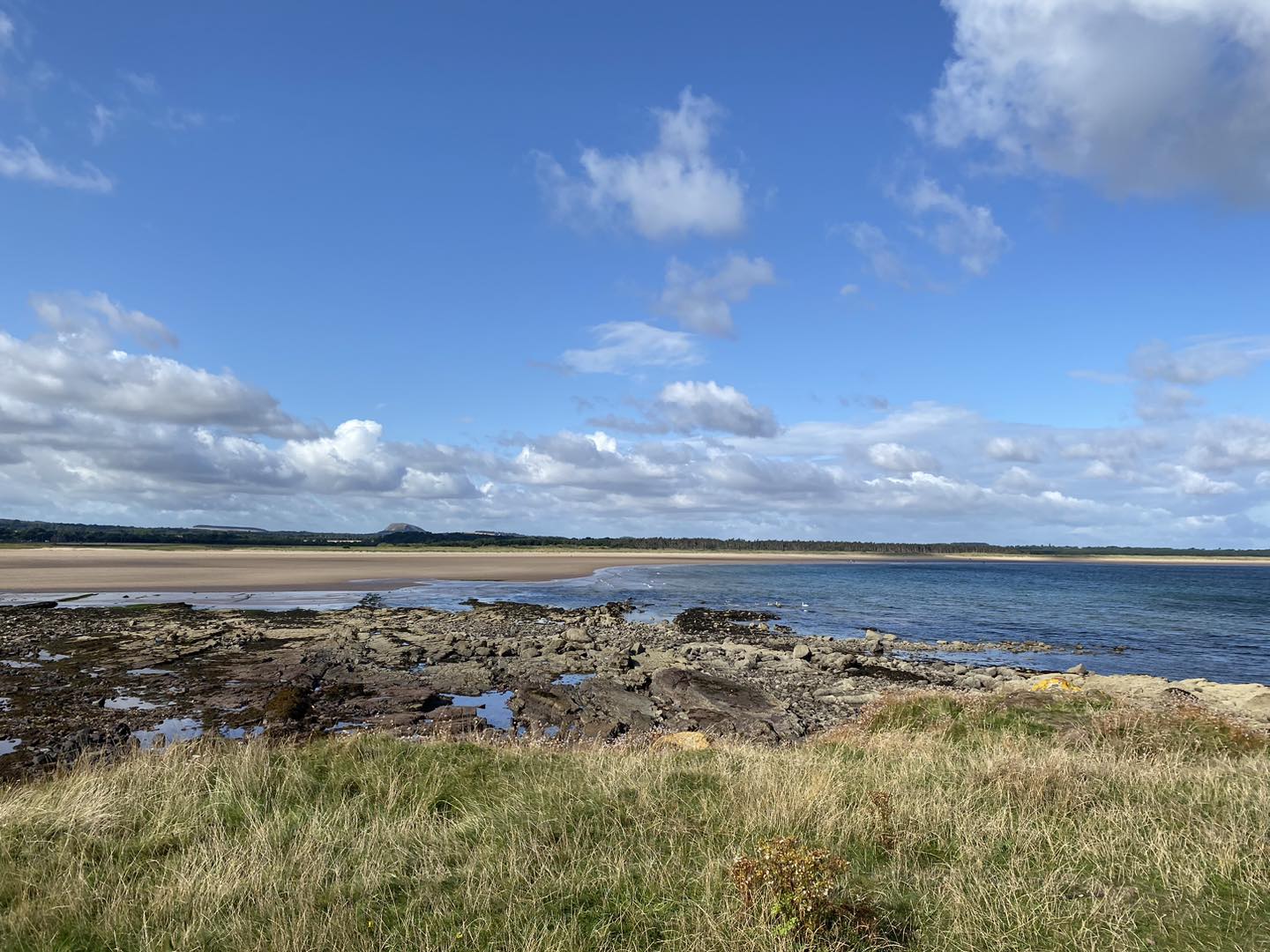
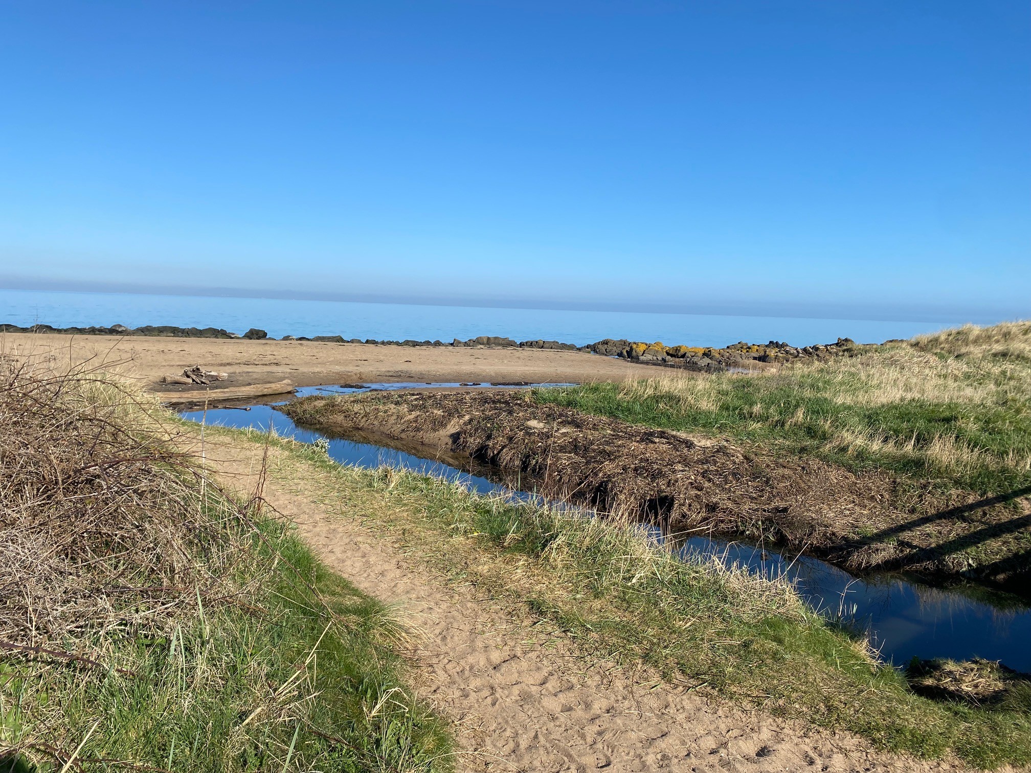
Aberlady Bay offers an unusually complete sequence of coastal habitats, including:
- Saltmarsh and mudflats
- Sand dunes
- Coastal grassland and scrub
- Woodland pockets
- A freshwater lochan
These habitats shift and change with winds, tides, and sand movement, making the reserve a dynamic landscape.
The main path leads visitors past these varied habitats and is routed to avoid sensitive wildlife refuge zones.
Wildlife
Birds - Aberlady Bay is a major hotspot for birdlife. Highlights include:
- Up to 30,000 pink‑footed geese roosting in autumn after arriving from Iceland.
- Spring and summer migrants such as sedge warblers, whitethroats, blackcaps, and wading birds like redshank and ringed plover.
- Occasional rare bird visitors including Egyptian geese, Caspian plovers, and Western sandpipers.
Plants and invertebrates - The reserve supports over 550 plant species, many of them locally rare, which in turn provide habitat for a wide variety of invertebrates.
Other wildlife visitors may encounter:
- Roe deer
- Frogs, caterpillars, and other invertebrates
- Occasionally dolphins, visible offshore in the Firth of Forth
Wildfowling
Read about wildfowling and apply for a permit online.
How to get there
By bus - East Coast Buses operate services that passes by the Nature Reserve, you can ask to be dropped off nearby.
By car - A small car park is located just off the A198 to the East of Aberlady village. Parking charges apply at coastal car parks.
By bicycle - The A198 passes along the South of the Nature Reserve. Within the Reserve, tracks are mostly sandy and not ideal for cycling.
Facilities
- the Countryside Ranger Service co-ordinates the day-to-day management of this site
- small toilet adjacent to the car park.